Multirotor UAV Solution

A high-end unmanned aircraft system resulting from an alliance between the two industry leaders

bb4

Overview

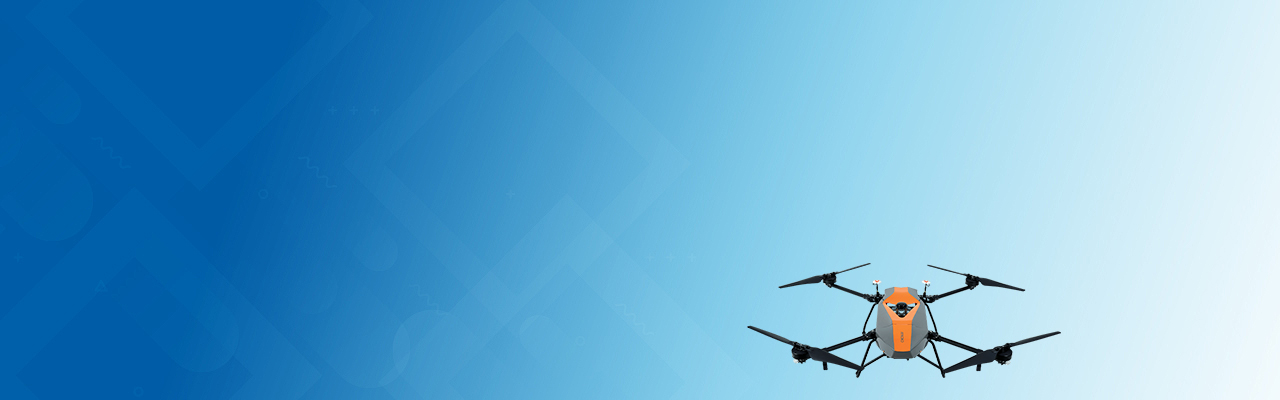
The Multirotor UAV Solution BB4 is a high-end unmanned aircraft system resulting from an alliance between the two industry leaders in their respective segments. Its scientific design and highly integrated production technology come from Cloud - a global manufacturer specialized in efficient geospatial measurement technologies - cloud surveying drones are fully automated flight control system from DJI, the pioneer in the manufacturing of commercial UAVs.

  • A STATE-OF-THE-ART MODERN PLATFORM:
    2 min for flight preparation The BB4 UAV is specially designed for professional industrial applications. The modular design with pre-installed arms and antennas reduces the time required for setup, making the platform ready for use in just 2 minutes.
  • HIGH CAPACITY:
    Up to 7 kg payload LiDAR weight is a constraint for any drone. The UAV needs to lift the entire payload, if not, no data acquisition is possible! The BB4 can carry our CHCNAV scanners with different DSRL cameras. 3D photogrammetry is possible with an oblique camera system. Users can also install multispectral cameras.
  • SURVEY-GRADE ACCURACY:
    1 cm +1 ppm RTK accuracy The BB4 is equipped with dual DJI A3 IMUs and GNSS units that work together with CHCNAV's advanced positioning solution, consisting of a high-end GNSS receiver and an industry-leading IMU to meet the high accuracy requirements of the surveying and mapping industry.
  • INTELLIGENT AND FLIGHT-SIMPLIFIED OPERATION:
    BB4 operated by DJI Ground Station Pro Enhance the BB4's operation with the DJI GS Pro application. Conduct automated flight missions, manage flight data in the cloud, and collaborate across projects to efficiently manage your drone workflow.