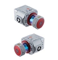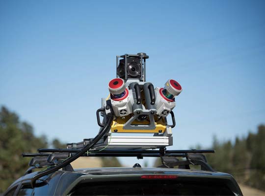
Mobile Mapping System
Mobile mapping systems utilize GNSS technology combined with Inertial Navigation Systems (INS) to enable the rapid and accurate calculation of continuous 3D position, velocity and attitude (roll, pitch and yaw). It is critical that all GNSS position and INS attitude data is time synchronized to the mapping sensors to enable the direct and precise mapping of landscapes, objects or features.